




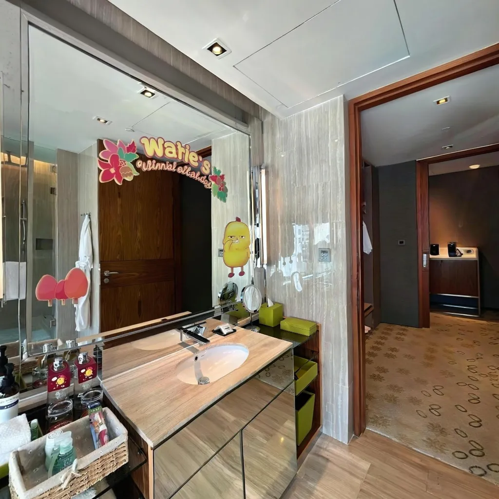
AI panorama stitching
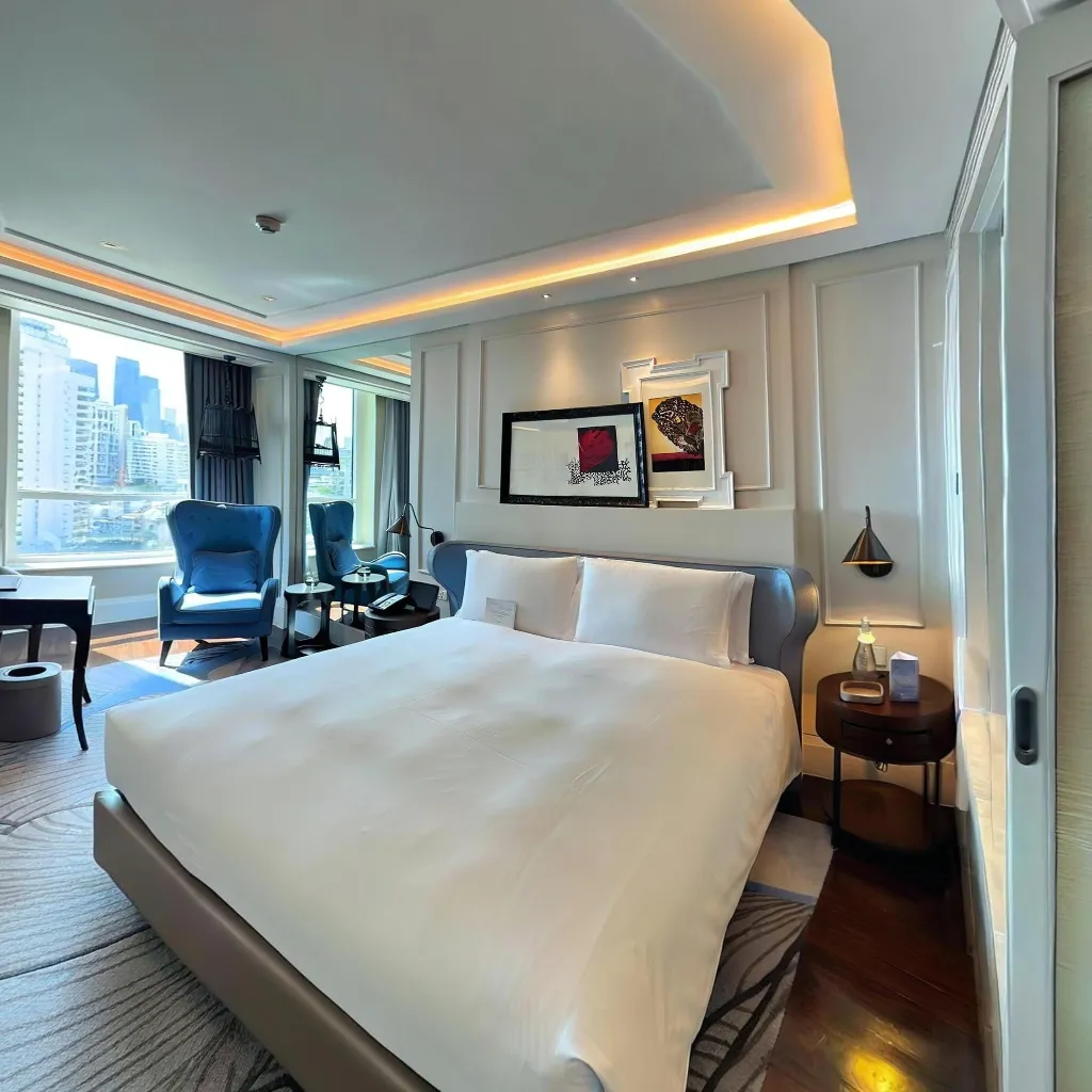
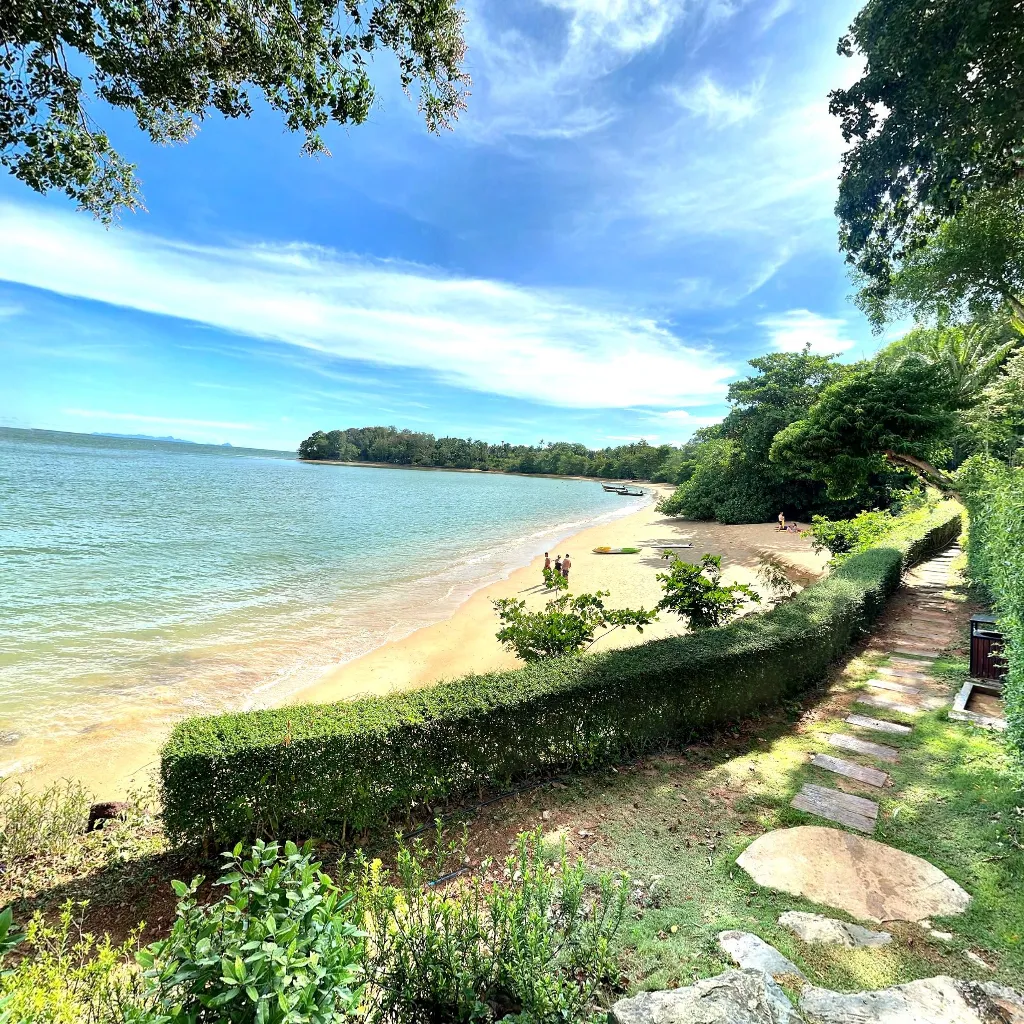
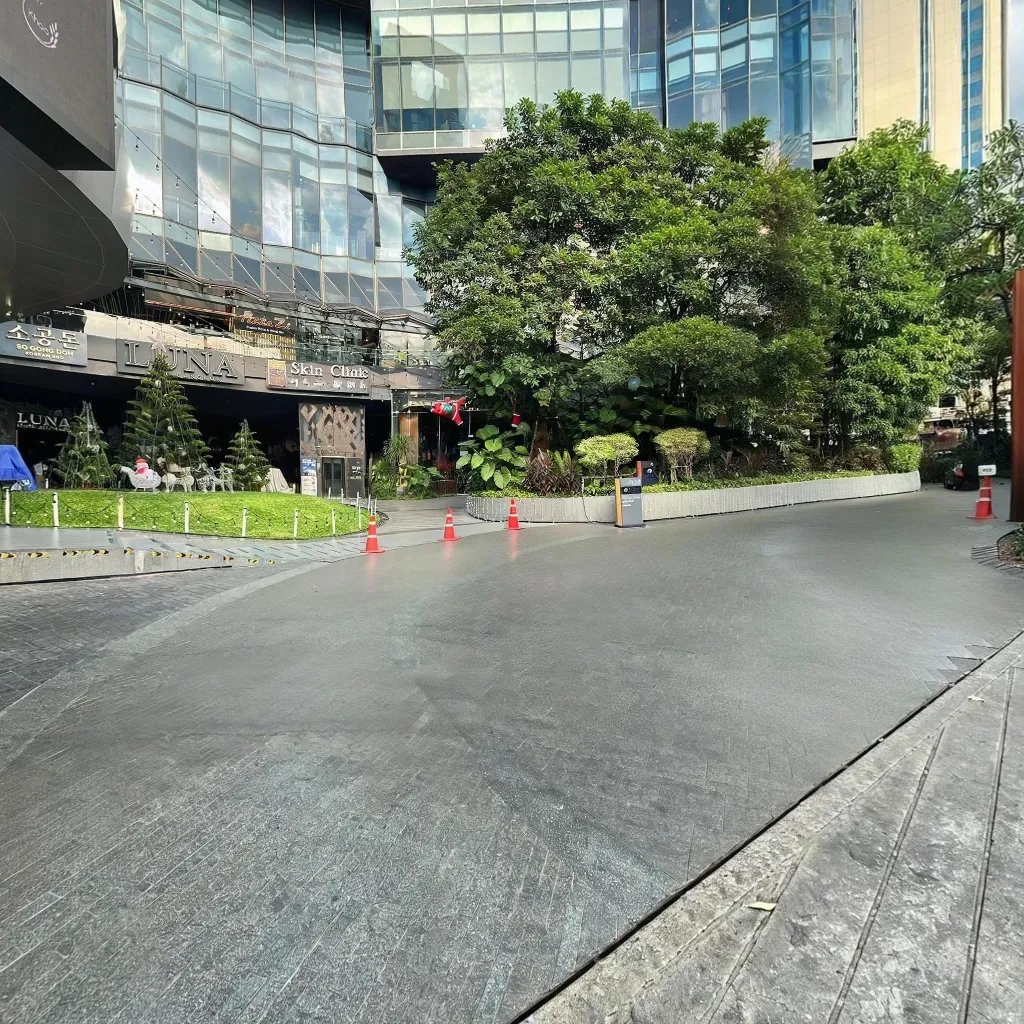
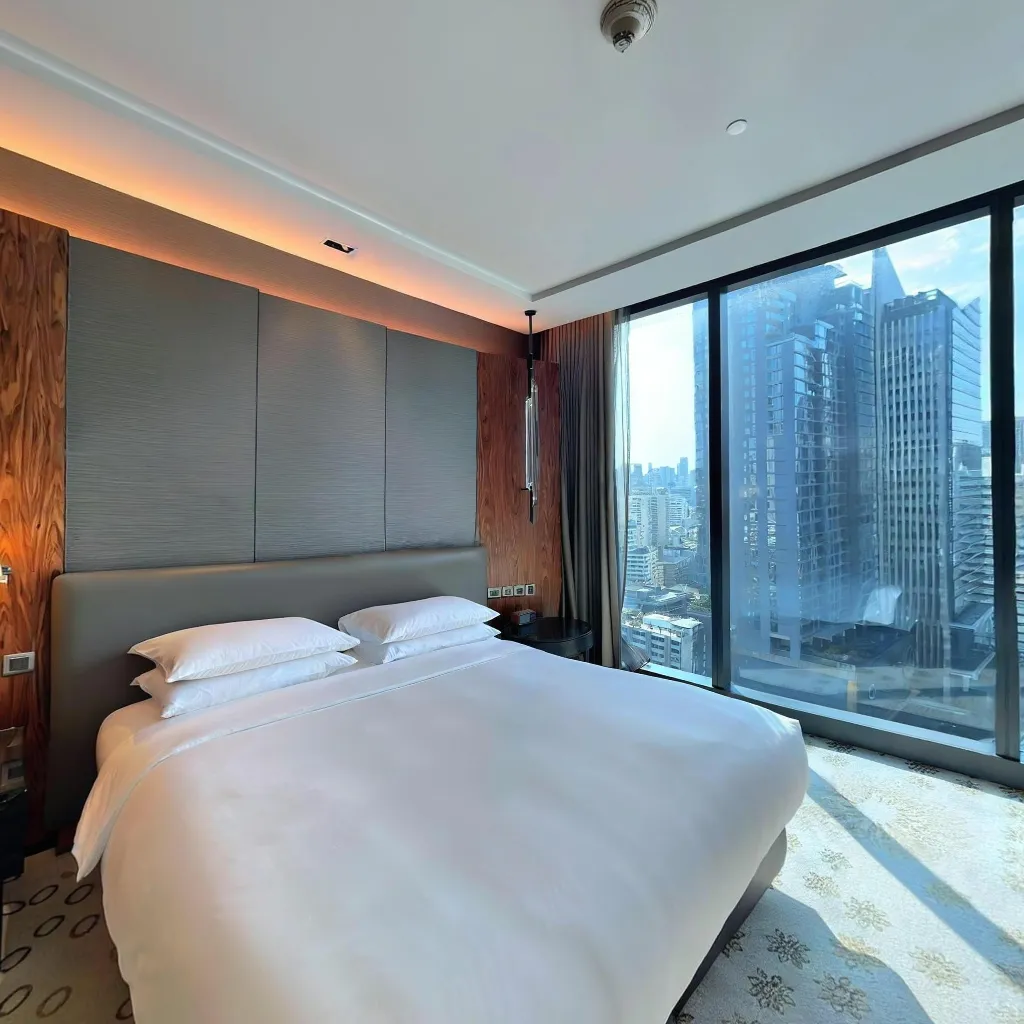
Our spatial AI assembles smartphone captures into a seamless equirectangular panorama, the format Street View expects. No manual editing, no retakes.
What is Google Street View?
Street View is the immersive panoramic layer inside Google Maps. When your place has coverage, people can look around before they visit. Imagery you publish sits on your Maps location; Travvir is the Street View publisher shown on that place.
Capture with a smartphone, then publish from Travvir. For a single scan, choose the place on Google Maps, select the scenes, and publish them to Street View. For a 360° tour, choose the place on Google Maps and publish the linked tour directly. Step-by-step: how to publish from Travvir. For a create-and-publish overview, see Google Street View virtual tours.
See live 360° examplesImagery appears at your Google Maps place. Travvir is listed as the Street View publisher there.
Published imagery can strengthen local search presence and your Knowledge Panel.
Businesses with immersive Map imagery earn stronger trust signals and higher click-through.
No special camera required — Travvir’s AI turns phone photos into publish-ready panoramas.
Platform capabilities
From smartphone capture to automatic publishing Travvir covers the full Street View workflow in one place.
Our spatial AI assembles smartphone captures into a seamless equirectangular panorama, the format Street View expects. No manual editing, no retakes.
Pick the Google Maps place first. Publish a single scan after selecting scenes, or publish a 360° tour directly. Travvir is the Street View publisher at that location.
High-resolution panoramas that look sharp on every device, from mobile to large-screen embeds.
Guided mobile capture works on any modern iOS or Android device — no 360° camera needed.
Panoramas link directly to your Google Business Profile, enriching your Maps listing.
Every panorama is stored in Travvir's cloud — accessible, updatable, and always backed up.
Manage and publish imagery for every branch or property from a single dashboard.
Update seasonal décor or property changes with a new capture and re-publish without losing history.
Benefits
A Street View presence is one of the highest-ROI moves for local and multi-location brands. Here's why.
Immersive Map imagery signals transparency. Customers know what to expect before they arrive — less hesitation, stronger conversions.
Published imagery can strengthen local search presence and enrich your Knowledge Panel.
Map listings with immersive imagery earn more clicks and direction requests than text-only listings.
Give visitors a virtual preview — they arrive informed, prepared, and more satisfied.
When people can explore your space beforehand, they are more likely to visit in person.
Your panorama works around the clock on Maps — no ad spend required.
Most businesses still lack immersive Map coverage — publishing puts you ahead.
Maps is used worldwide. Your imagery can reach travelers and locals alike.
Use cases
Let buyers explore properties and neighborhoods virtually before a showing — more qualified inquiries, fewer wasted visits.
Preview lobbies, rooms, and amenities so guests book with confidence and fewer surprises on arrival.
Show ambiance, seating, and décor so diners pick your venue knowing what to expect.
Give shoppers a walkthrough of displays and layout before they come in person.
Help students and parents tour campus buildings, halls, and facilities from afar.
Ease first-visit nerves by letting patients preview waiting rooms and facilities ahead of time.
Inspire travelers with immersive previews of landmarks, museums, and destinations.
Open exhibitions to a wider audience and drive awareness that turns into ticket sales.
Let tenants and partners preview your workspace before they schedule a visit.
Show the showroom and floor from home so buyers arrive informed and ready to decide.
FAQ
Street View is the immersive panoramic layer inside Google Maps that lets people look around a place from street level — in a browser or on mobile — before they visit in person.
Travvir turns smartphone captures into panoramas and publishes them to Street View. You choose the Google Maps place first. A single scan lets you select scenes then publish; a 360° tour publishes directly. Travvir is the Street View publisher at that location. Publish steps in the Travvir guide.
Yes. Capture interiors and exteriors on your phone and publish them from Travvir — without hiring a photographer or buying a dedicated 360 camera. Coverage appears at your Maps place; Travvir is listed as the publisher.
Just a modern smartphone. Travvir’s guided capture and AI stitching produce Street View–ready equirectangular images; a professional 360 camera is optional, not required.
Immersive imagery builds trust before someone walks through the door. Listings with rich visuals tend to earn more engagement, clearer expectations, and stronger foot traffic.
Most Travvir captures are processed and submitted within minutes. Google’s review usually finishes within a few days before the imagery goes live on Maps.
A Travvir virtual tour is a multi-scene experience on your site or our platform — with hotspots, branding, and navigation. Street View is location imagery inside Google Maps. You can publish a single scan or a full 360° tour to Street View from the same capture. Overview: Google Street View virtual tour.
Yes. We submit panoramas through Google’s Publish API. You pick the Maps place; Travvir is the Street View publisher there. Google still reviews imagery before it goes live.
Yes. Capture, process, and publish imagery for every branch or property from one Travvir dashboard — built for multi-location teams.
Published panoramas can appear across Maps, Search, and Knowledge Panels, which adds another organic surface for people discovering your business.